









LOS ANGELES, CA – Hurricane Polo is raising new concerns along the Southern California coastline as large swells generated by the powerful Pacific storm are expected to reach the region early next week, bringing the potential for dangerous surf, rip currents, beach erosion and coastal flooding.
Polo is not expected to make landfall in Southern California. Instead, the primary concern is the energy being carried across the Pacific by the storm, which can produce significant ocean swells even when the center of a tropical cyclone remains far offshore.
The National Weather Service office in Los Angeles/Oxnard said Friday that beach impacts from Tropical Cyclone Polo are possible Monday and Tuesday, particularly in the form of high surf and beach erosion.
A separate National Weather Service beach hazards statement covers the Malibu Coast, Los Angeles County beaches and nearby islands through Wednesday afternoon. Officials warn of dangerous rip currents, breaking waves and the possibility of moderate coastal flooding.
Polo’s swells could reach Southern California
The latest National Hurricane Center records show that Polo became one of the strongest storms of the 2026 Eastern Pacific hurricane season, reaching major-hurricane intensity with maximum winds of 155 knots, or roughly 178 mph, according to the agency’s season summary.
The storm’s direct threat to Southern California is different from a landfall threat. Forecast concerns center on the ocean swell generated by Polo as the storm moves offshore.
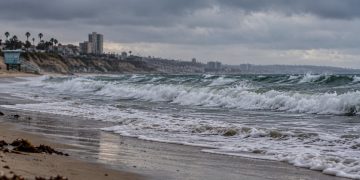
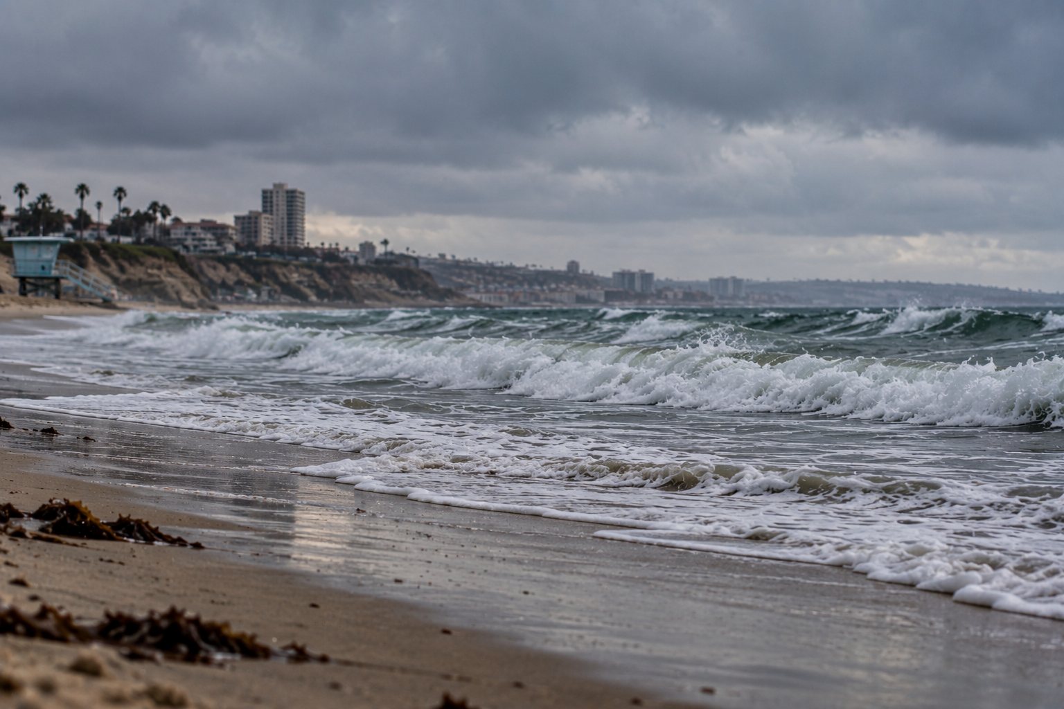
For the Los Angeles County coastline, the National Weather Service says elevated surf could produce waves capable of washing people off beaches and rocks and creating dangerous conditions for swimmers and surfers. Low-lying coastal infrastructure, including parking lots, bike paths and harbor walkways, could also experience flooding during higher tides.
The agency says moderate beach erosion is likely, with isolated damage possible.
Monday and Tuesday are the key days
The most significant concerns for the Los Angeles coastline are expected Monday and Tuesday.
The Los Angeles/Oxnard National Weather Service forecast discussion says substantial cooling is expected Sunday and Monday, while the main coastal impacts associated with Polo are expected Monday and Tuesday.
The timing is important because elevated surf can become more disruptive when it coincides with higher astronomical tides.
That combination can allow waves to reach farther inland, increasing the possibility of flooding in areas that normally remain above the waterline.
The National Weather Service is specifically warning that coastal flooding could affect vulnerable low-lying areas during late-morning high tides.
Orange County could also see impacts
The effects are not expected to be limited to Los Angeles County.
The National Weather Service San Diego office is also monitoring the Polo swell across Orange County and San Diego County.
Forecasters said the Polo swell is expected to increase Monday, with Orange County beaches more exposed to the direction of the incoming swell while many San Diego County beaches are expected to be comparatively sheltered.
The San Diego office said surf of roughly 3 to 5 feet, with sets reaching 6 feet, could develop along south- and southwest-facing beaches. Higher tides are expected Monday through Wednesday, with peak tides near 7 feet.
The combination of higher water levels and elevated surf could produce minor to moderate coastal flooding, particularly during late-morning and early-afternoon high tides.
Rip currents remain a major concern
For people visiting Southern California beaches, one of the immediate dangers is not necessarily flooding but the strength of the water itself.
The Los Angeles-area beach hazards statement warns of dangerous rip currents capable of pulling swimmers and surfers away from shore. Larger breaking waves can also knock people down, move them into deeper water or wash them from rocks and jetties.
The National Weather Service is advising people to remain out of the water during hazardous conditions or stay near occupied lifeguard towers.
Officials are also specifically warning people to stay off rock jetties, where large waves can create particularly dangerous conditions.
Those precautions apply even when the weather onshore appears relatively calm. The arrival of a distant storm-generated swell does not necessarily coincide with strong winds or heavy rain at the beach.
Coastal communities remain vulnerable
The timing of Polo’s swell is also drawing attention because parts of the Southern California coastline have already experienced significant wave activity this month.
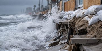
The combination of repeated swell events and higher tides can place additional stress on beaches, dunes, berms, seawalls and other coastal infrastructure.
In Los Angeles County, the current beach conditions and water-quality information are also being tracked by the Los Angeles County Department of Public Health.
The county’s health department has separately issued several ocean-water warnings in September because of elevated bacteria levels at portions of the coastline. Those warnings concern water quality rather than Polo’s surf, but they provide another reason for beachgoers to check conditions before entering the ocean.
Southern California is watching the forecast
Forecasters continue to refine the expected timing and intensity of the swell as Polo moves farther offshore.
The National Weather Service in Los Angeles said the current forecast has a relatively clear signal for coastal impacts Monday and Tuesday, while noting that the exact magnitude of surf and flooding can change as the storm and associated swells evolve.
For residents and visitors, the primary concerns are expected to remain concentrated along exposed beaches, particularly areas facing south or southwest.
People heading to the coast should check the latest National Weather Service forecasts, local beach hazard statements and lifeguard instructions before entering the water or approaching exposed coastal areas.
At this point, Polo’s Southern California threat is primarily a coastal swell and flooding concern rather than a direct hurricane landfall threat. The storm is expected to remain offshore, but its ocean energy could still produce dangerous conditions along portions of the coast early next week.