

• Latest
  • All
  • News
  • Crime
  • Homelessness
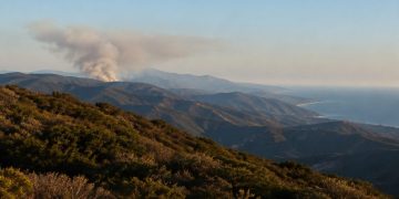
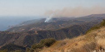
Rugged Santa Monica Mountains ridgelines covered in chaparral with a gray smoke plume rising from a distant ridge in late-afternoon daylight.

Bryson Fire Burns 147 Acres Near Malibu, 39% Contained

October 17, 2026
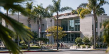
West Hollywood City Hall seen from across Santa Monica Boulevard in neutral daylight, with palm trees in the foreground, illustrating the city council race.

Larry Block Faces Blog Allegations Over News Site in West Hollywood Race

October 17, 2026
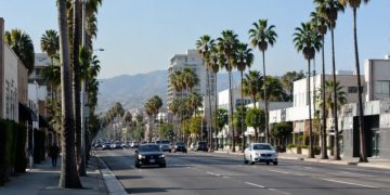
Wide daylight view of Santa Monica Boulevard in West Hollywood, with palm trees and low-rise commercial buildings along the busy corridor.

West Hollywood Installs Artist-Designed WeHo 66 Signs on Santa Monica Boulevard

October 17, 2026
Rows of closed student laptops on desks in an empty Southern California classroom in afternoon daylight, illustrating the student data breach.

Hackers Steal Data of Millions of California Students in Testing Vendor Breach

October 17, 2026
Exterior of a low-rise commercial building on a busy Los Angeles boulevard lined with palm trees in neutral daylight.

LAFD Union Treasurer Accuses Former President of Battery in Los Angeles

October 17, 2026
Wide view of dry chaparral ridgelines in the Santa Monica Mountains near Malibu with a thin plume of smoke rising over the hills in afternoon daylight.

5 Wildfires Burn Across Southern California Amid Santa Ana Winds

October 17, 2026
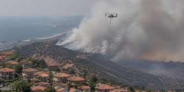
Aerial view of a smoke plume rising over dry hills above suburban homes in San Clemente, with a firefighting helicopter in flight in afternoon daylight.

Norte Fire Burns 465 Acres, Forces Evacuations in San Clemente

October 17, 2026
Long-lens view of a commercial street in downtown Burbank with a multilevel parking structure, low-rise storefronts and palm trees in afternoon daylight.

Teen Arrested on Suspicion of Attempted Murder After Burbank Stabbing

October 17, 2026
Close-up of naloxone nasal spray devices and drug test strips on a clinic counter in neutral daylight, illustrating the Los Angeles County opioid warning.

L.A. County Reports First Cychlorphine Death, Opioid Stronger Than Fentanyl

October 17, 2026
Los Angeles City Hall tower in neutral daylight above softly blurred palm trees, illustrating the 2026 Los Angeles mayoral race.

Bass and Raman Split Over LAPD Chief McDonnell in L.A. Mayoral Runoff

October 17, 2026
Los Angeles City Hall in neutral daylight, its tower sharp above softly blurred palm trees, illustrating the Los Angeles mayoral runoff.

Bass and Raman Trade Accusations Over ICE and Former LAPD Chief Daryl Gates

October 17, 2026
New apartment building under construction beside older single-family homes and palm trees on a Los Angeles street in neutral daylight.

Bass and Raman Detail Housing Plans for Los Angeles Ahead of Nov. 3 Vote

October 17, 2026
Patched asphalt and a concrete bus pad along Sunset Boulevard in West Hollywood, with palm trees and low-rise buildings in neutral daylight.

LADWP to Begin Sunset Boulevard Restoration Work in West Hollywood Oct. 19

October 17, 2026
  • About
  • Advertise
  • Privacy & Policy
  • Contact
Saturday, October 17, 2026
  • Login
Street People - News Decentralized
  • Home
  • All News
    • All
    • California
    • Crime
    • Homelessness
    • Los Angeles
    Rugged Santa Monica Mountains ridgelines covered in chaparral with a gray smoke plume rising from a distant ridge in late-afternoon daylight.

    Bryson Fire Burns 147 Acres Near Malibu, 39% Contained

    West Hollywood City Hall seen from across Santa Monica Boulevard in neutral daylight, with palm trees in the foreground, illustrating the city council race.

    Larry Block Faces Blog Allegations Over News Site in West Hollywood Race

    Wide daylight view of Santa Monica Boulevard in West Hollywood, with palm trees and low-rise commercial buildings along the busy corridor.

    West Hollywood Installs Artist-Designed WeHo 66 Signs on Santa Monica Boulevard

    Rows of closed student laptops on desks in an empty Southern California classroom in afternoon daylight, illustrating the student data breach.

    Hackers Steal Data of Millions of California Students in Testing Vendor Breach

    Exterior of a low-rise commercial building on a busy Los Angeles boulevard lined with palm trees in neutral daylight.

    LAFD Union Treasurer Accuses Former President of Battery in Los Angeles

    Wide view of dry chaparral ridgelines in the Santa Monica Mountains near Malibu with a thin plume of smoke rising over the hills in afternoon daylight.

    5 Wildfires Burn Across Southern California Amid Santa Ana Winds

    Aerial view of a smoke plume rising over dry hills above suburban homes in San Clemente, with a firefighting helicopter in flight in afternoon daylight.

    Norte Fire Burns 465 Acres, Forces Evacuations in San Clemente

    Long-lens view of a commercial street in downtown Burbank with a multilevel parking structure, low-rise storefronts and palm trees in afternoon daylight.

    Teen Arrested on Suspicion of Attempted Murder After Burbank Stabbing

    Close-up of naloxone nasal spray devices and drug test strips on a clinic counter in neutral daylight, illustrating the Los Angeles County opioid warning.

    L.A. County Reports First Cychlorphine Death, Opioid Stronger Than Fentanyl

    Los Angeles City Hall tower in neutral daylight above softly blurred palm trees, illustrating the 2026 Los Angeles mayoral race.

    Bass and Raman Split Over LAPD Chief McDonnell in L.A. Mayoral Runoff

    Trending Tags

    • Donald Trump
    • Future of News
    • Climate Change
    • Market Stories
    • Election Results
    • Flat Earth
  • Crime
  • Homelessness
  • Politics
No Result
View All Result
Street People - News Decentralized
No Result
View All Result
Home News Los Angeles

Bryson Fire Burns 147 Acres Near Malibu, 39% Contained

October 17, 2026
in Los Angeles, News
0
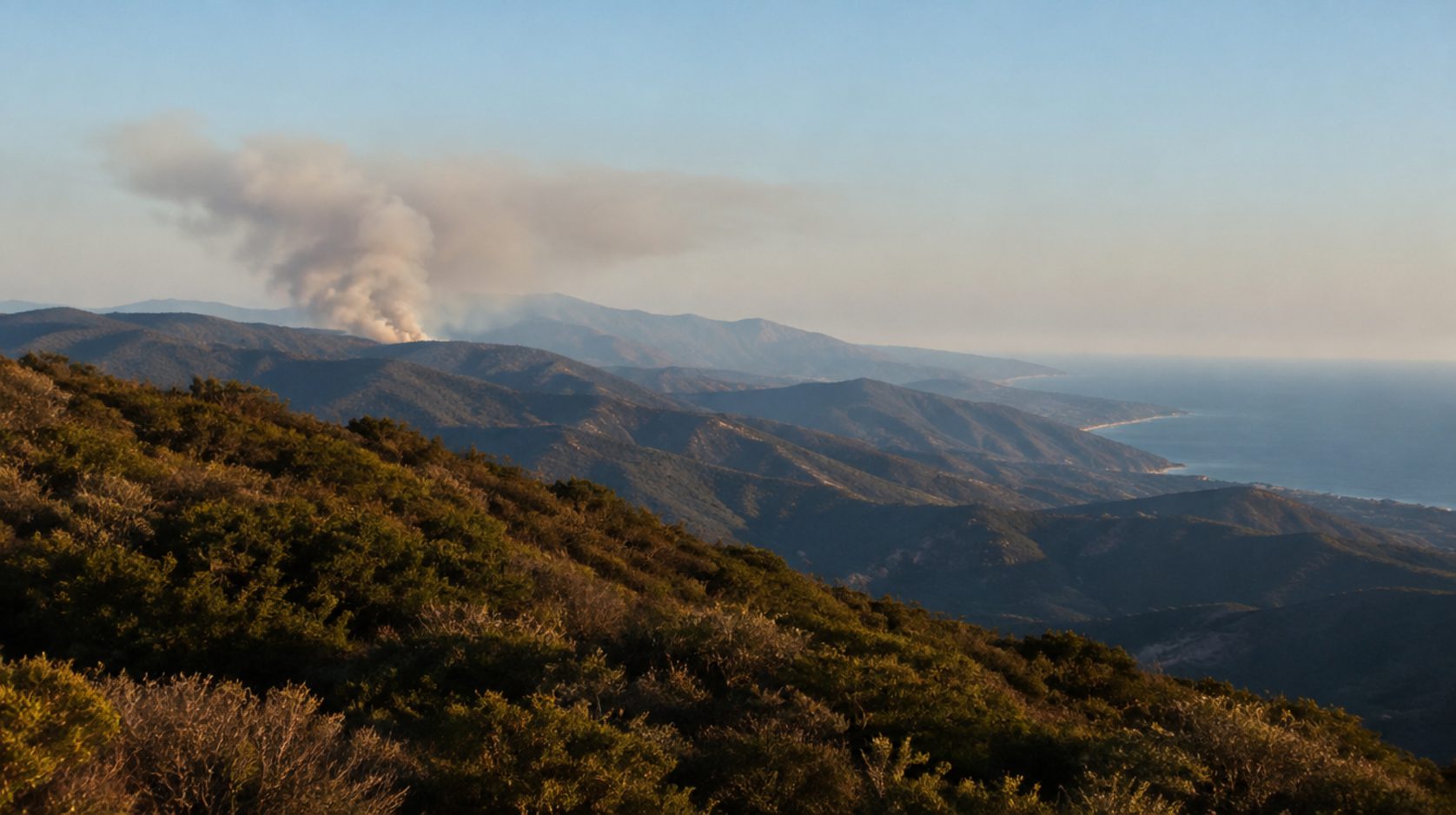
Rugged Santa Monica Mountains ridgelines covered in chaparral with a gray smoke plume rising from a distant ridge in late-afternoon daylight.

Rugged Santa Monica Mountains ridgelines covered in chaparral with a gray smoke plume rising from a distant ridge in late-afternoon daylight.

491
SHARES
1.4k
VIEWS
Share on FacebookShare on Twitter

LOS ANGELES, CA – The Bryson Fire, which started Thursday afternoon in the Santa Monica Mountains north of Malibu, had burned about 147 acres and was 39% contained Friday evening, according to CAL FIRE’s incident page for the blaze.

The fire broke out at 4:41 p.m. Thursday, Oct. 15, near Encinal Canyon Road and Mulholland Highway. The cause is under investigation, and the Los Angeles County Fire Department and the Los Angeles County Sheriff’s Department are in unified command.

The fire started in hills that burned in the 2018 Woolsey Fire, according to initial reports. It ignited during Santa Ana winds and a Red Flag Warning, while Southern California Edison power shutoffs were in effect in the area.

County officials reported no structure loss or damage. They reported only minor injuries to fire personnel.

Containment rises from 17% to 39%

A Los Angeles County news release issued Friday morning put the fire at 146 acres and 17% contained. More than 414 personnel were assigned at that point.

By 7:47 p.m. Friday, the fire stood at 147 acres and 39% contained, according to a CAL FIRE incident update. The update listed 65 engines, two helicopters, 20 hand crews and 721 total personnel assigned.

One firefighter injury was reported in that update. The incident is managed by an LA County Fire Department Type III Incident Management Team, and Ventura County Fire, the California Highway Patrol and other agencies support the unified command.

Supervisor Lindsey P. Horvath thanked firefighters who fought through the night and held the line. She also thanked the City of Malibu and Caltrans, which set up generators so traffic lights stayed on during the power shutoffs, she said at a news conference Friday.

Two evacuation orders and 12 warnings in effect

Two evacuation orders were in effect, covering zones KAN-U017 and SYC-U016-A, according to the county’s release on the fire. Twelve additional zones were under evacuation warnings.

The CAL FIRE incident page lists orders and warnings for zones including KAN-U017 and SYC-U016-A through D. An evacuation order means residents must leave, while a warning tells them to be ready to go.

An evacuation shelter was set up at Agoura High School. The incident page says, “An evacuation shelter is available for residents impacted by the Bryson Fire at Agoura High School.”

Animals are being taken to the Agoura Animal Care Center and the Pierce College Equestrian Center, according to the CAL FIRE update.

Roads closed around the fire

The CAL FIRE update lists five closed roads: Decker Road, Encinal Canyon Road, Kanan Road, Mulholland Highway and Westlake Boulevard.

The county release says Encinal Canyon Road is closed from the City of Malibu to Mulholland Highway. It also says Lechusa Road is closed between Decker Road and Encinal Canyon Road.

Youth campus evacuated Thursday

The Los Angeles County Probation Department evacuated Campus Vernon Kilpatrick in Malibu on Oct. 15, according to a department statement. It moved 38 female and gender expansive youth to Barry J. Nidorf Juvenile Hall in Sylmar.

The facility’s superintendent made the decision to evacuate, the department said. Parents and guardians were notified directly.

The statement says, “Staff are available to attend to the youth’s needs and provide support.”

Critical fire weather continues into Saturday

Fire Chief Anthony C. Marrone said Red Flag Warnings and a heat advisory would bring critical fire weather into Saturday. The county release quotes the conditions this way: “Red Flag Warnings and a heat advisory are bringing elevated to critical fire weather conditions that will continue today into Saturday.”

Marrone also urged residents to keep watching conditions. “As wildfires continue to burn faster and push deeper into our built environment, I urge residents to continue to monitor high-risk weather conditions,” he said.

Horvath said it is still a red flag alert, with conditions expected through at least Saturday night. She urged people to be vigilant and prepared.

The National Weather Service in Los Angeles said Oct. 15 and 16 that evacuation orders were in effect for the Bryson Fire. It said winds were forecast to increase overnight, with gusts of 50 to 60 mph possible.

Gov. Gavin Newsom was briefed on the fire, according to a statement attributed to the governor’s office. The California Governor’s Office of Emergency Services is coordinating support and resources for local first responders, and the State Operations Center was reported at enhanced readiness.

Woolsey Fire left a large burn scar

The Woolsey Fire started Nov. 8, 2018, in Los Angeles and Ventura counties. According to CAL FIRE’s incident page, it burned 96,949 acres and destroyed 1,643 structures. The page lists it as 100% contained on Jan. 4, 2019.

Inside the Santa Monica Mountains National Recreation Area, the National Park Service says the Woolsey Fire burned more acres than any other fire in recorded history. The agency says more than 21,000 acres of Park Service land burned, which represents 88% of the agency’s land within the recreation area.

The gap between the Woolsey Fire’s November 2018 start and the Bryson Fire’s October 2026 start is just under eight years.

Fire return interval far shorter than natural cycle

The Park Service publishes data on how often fire returns to the mountains. It says the average fire return interval for the recreation area “is currently about 28 years.”

The same page says a few places in the park have burned more than 10 times since 1925, a mean fire return interval of about 8 years. It also says, “Fire return intervals between 6 and 12 years are the threshold below which certain native shrub species are especially vulnerable to being killed by repeat fires.”

The Park Service’s fire ecology page says that the current 28-year interval is “far shorter than the estimated natural fire return interval of approximately 70-100 years.”

How repeated fire changes the shrublands

The Park Service describes a process called type conversion. Its page defines it this way: “The process of change from a native shrubland to a non-native dominated grassland is called type conversion.”

According to the agency, repeated fire disturbance favors rapidly reproducing non-native annual grasses and forbs. It says these plants have a higher ignition probability and produce cooler fires.

The Park Service pages describe the recreation area as a whole. The agency has not published an assessment of the Bryson Fire’s effects on the plant communities in the area it burned.

Cause is under investigation

County and state officials have not announced what started the Bryson Fire, and the incident page lists the cause as under investigation. County officials had reported no structure losses as of Friday.

The Red Flag Warning and heat advisory were forecast to continue through Saturday, according to the county. Unified command remains in place, and the CAL FIRE incident page is where updates on acreage and containment are posted.

Tags: Bryson FireEvacuationMalibuSanta Monica MountainsWildfireWoolsey Fire
Share196Tweet123
Previous Post

Larry Block Faces Blog Allegations Over News Site in West Hollywood Race

Recent Posts

  • Bryson Fire Burns 147 Acres Near Malibu, 39% Contained
  • Larry Block Faces Blog Allegations Over News Site in West Hollywood Race
  • West Hollywood Installs Artist-Designed WeHo 66 Signs on Santa Monica Boulevard
  • Hackers Steal Data of Millions of California Students in Testing Vendor Breach
  • LAFD Union Treasurer Accuses Former President of Battery in Los Angeles

Recent Comments

No comments to show.
Street People

Copyright © 2024 Street People, Inc.

Navigate Site

  • About
  • Advertise
  • Privacy & Policy
  • Contact

Follow Us

Welcome Back!

Login to your account below

Forgotten Password?

Retrieve your password

Please enter your username or email address to reset your password.

Log In
No Result
View All Result
  • Home
  • All News
    • Business
    • Crime
    • Homelessness
    • Politics

Copyright © 2024 Street People, Inc.