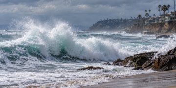








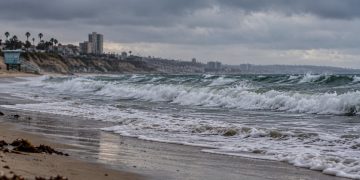


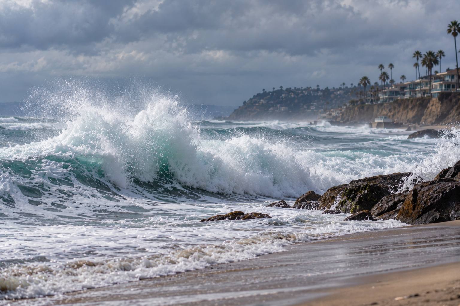
LOS ANGELES, CA – Hurricanes Polo and Odalys are expected to send large southerly swells toward Southern California this week, bringing elevated surf, dangerous rip currents, beach erosion and a risk of coastal flooding along vulnerable stretches of the coastline.
The storms are expected to remain well offshore and are not forecast to make landfall in Southern California. Their influence on the region is instead expected to come primarily through ocean swells generated by the tropical systems.
The National Weather Service in Los Angeles/Oxnard said Sunday that the strongest beach impacts are expected Monday and Tuesday, when the incoming swells coincide with unusually high tides.
Polo expected to produce the larger swell
According to the National Weather Service, Hurricane Polo is expected to produce the more significant swell for Southern California.
The storm is generating a southeast swell that is expected to reach exposed south-facing beaches beginning late Sunday and continuing through Tuesday. Hurricane Odalys is producing a smaller southwest swell that is also affecting Southern California waters.
The latest NWS coastal waters forecast said both tropical systems remained far from California but would send southwest-to-southeast swells toward the coast through at least Tuesday.
Forecasters said the combination of the two swells, coastal orientation and tidal conditions makes the exact impact difficult to determine.
High surf and coastal flooding concerns
The National Weather Service has issued a High Surf Advisory for Los Angeles County beaches, Malibu, Ventura County beaches and the Catalina and Santa Barbara islands from 5 a.m. Monday through 5 p.m. Tuesday.
The agency said breaking waves are expected to reach approximately 4 to 7 feet, accompanied by dangerous rip currents.
A Coastal Flood Advisory is also in effect for the same period, with moderate coastal flooding expected in vulnerable areas.
The NWS coastal hazard statement warns that elevated surf and breaking waves will increase hazards along the shoreline, while higher water levels could push seawater onto low-lying coastal areas.
High tides add to the threat
One of the main concerns for the region is the timing of the swells with high tides.
NWS forecasters expect tides to reach approximately 7 feet above mean lower low water during the late morning hours Monday and Tuesday. The agency said those levels are nearly a foot higher than astronomical tides because of ongoing El Niño effects.
That timing could make the effects of the incoming swells more pronounced, particularly along south-facing beaches that are already vulnerable to erosion.
The agency’s Los Angeles area forecast discussion identifies Avalon, Long Beach, Malibu and Santa Barbara among the areas of greatest concern for coastal flooding.
Forecasters said south-facing beaches could experience shallow seawater flooding on low-lying beach walkways, parking lots and roads.
Localized damage to structures is also possible in the most vulnerable locations, according to the NWS.
Southern California beaches are already vulnerable
The incoming swell comes after Hurricane Marie caused erosion and coastal impacts earlier this month.
NWS forecasters said some south-facing portions of the coastline remain particularly vulnerable because of the lingering effects of that earlier storm.
Although the expected swell from Polo is somewhat smaller than the swell associated with Marie, the direction of the incoming waves is an important factor.
Polo’s southeast swell is expected to expose some areas differently than the earlier event. The NWS specifically identified Avalon on Catalina Island as an area where the direction of the swell could produce greater exposure.
Santa Barbara Harbor also faces some risk, although forecasters said its distance from Polo reduces the potential impact compared with more exposed locations.
Dangerous surf expected along the coast
The combination of larger waves, strong rip currents and higher tides can create dangerous conditions even when a tropical cyclone remains hundreds of miles offshore.
The National Weather Service beach hazards guidance recommends that people remain aware of changing surf conditions and avoid entering the water when dangerous conditions are present.
Rip currents can pull swimmers away from shore quickly, while larger breaking waves can create hazards near jetties, rocks, piers and harbor entrances.
The NWS has also noted that the incoming swells could produce larger waves near shore and around harbor entrances.
Storms remain far from California
Despite the hurricane classification of Polo and Odalys, the systems themselves are not expected to directly move into Southern California.
The latest NWS coastal forecast placed Tropical Cyclone Odalys roughly 850 nautical miles south-southwest of Los Angeles and Hurricane Polo approximately 950 nautical miles southeast of Los Angeles Sunday morning.
The primary concern for Southern California is therefore the ocean response to the storms rather than direct hurricane conditions.
The National Hurricane Center continues to provide official information on tropical cyclones in the eastern Pacific, while the Los Angeles/Oxnard office handles local coastal forecasts and hazard information for Southern California.
For residents and visitors along the coast, the most significant period identified by forecasters is Monday and Tuesday, when the larger swell, elevated surf and high tides are expected to overlap.
As of Sunday, the NWS said the magnitude of coastal flooding remained uncertain, but vulnerable south-facing beaches could see flooding, erosion and hazardous surf as the tropical systems send additional energy toward the Southern California coastline.